Creating a rich, highly accurate national fabric of broadband coverage with over 300 property attributes & spatial data layers….
Learn morePlease be advised that there will be scheduled website maintenance from April 18th 10pm to April 19th 6am.
Please be advised that there will be scheduled website maintenance from April 18th 10pm to April 19th 6am.
With more than 6 billion server hits per month, SpatialStream is a comprehensive suite of web services and APIs that gives you the location-based data you need. Through SpatialStream, you can stream to SmartParcels®, Building Footprints and more.
Request A Demo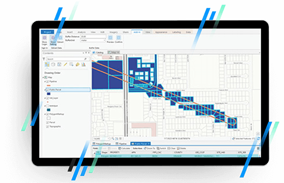
Connect with the entire LightBox catalog to gather specific data insights within seconds.
Work with powerful spatial and attribute API used for spatial calculations and enrichment.
Leverage LightBox connected data assets, plus access the most up-to-date location, property and address insights.
Explore flexible licensing and pricing options—we work to fit any budget, from start-up to enterprise.
SpatialStream lets you spatially-enable your app or web portal in weeks instead of months, so you can quickly begin providing value to your users.
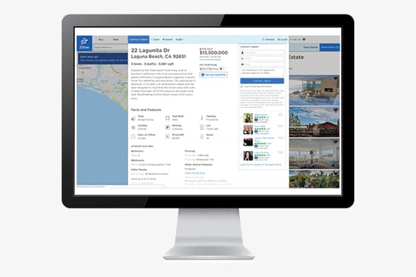
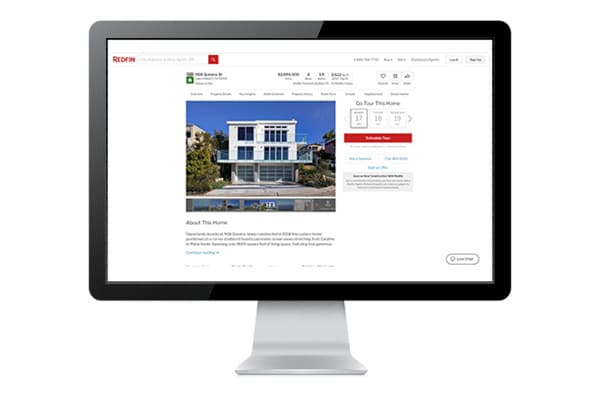
All of the content that is delivered through SpatialStream is pre-processed and has already been normalized, so it’s ready to be consumed by your app or portal.
Our databases get updated nightly, so the data in your app or web portal will always be the latest data we have available.
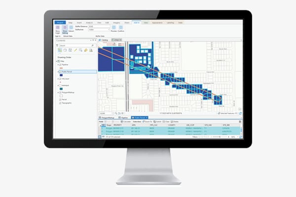
SpatialStream is compatible with ArcGIS, so you’re able to stream the latest data directly into your ArcGIS environment and don’t have to worry about processing or keeping your data current.
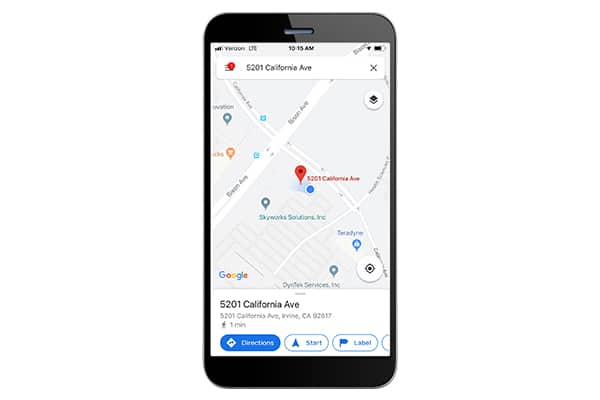
Our web services and APIs are easy to implement, so you can reap the benefits of location data without being a GIS expert.
SpatialStream applies its knowledge and understanding to each industry to create unique solutions that drive positive outcomes.
Building footprints are geospatial boundaries that provide the outline of a building drawn along the exterior walls.
Nationwide parcel boundaries with 300+ property and tax attributes to help you make more confident decisions. Covers 3,100+ U.S. counties including territories, with over 150 million parcels with polygon geometry that is completely normalized.
Official record of property from tax assessor from previous years.
Fill out the form below and a member of our Sales Team will contact you shortly.